Historical Maps
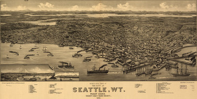
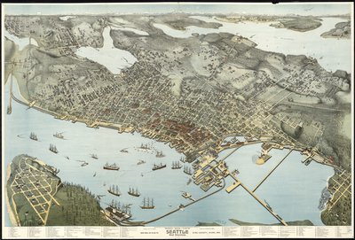
Seattle Birdseye View - 1884
About:
Beck & Pauli’s birdseye map of Seattle, Washington Territory, in 1884.
Originally found on Big Map Blog
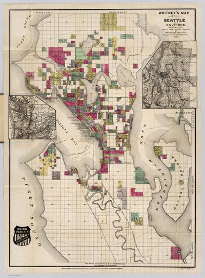
City of Seattle - 1890
About:
This is somewhat later in the year than the “Whitney” version of this map (see our #4336) and show more property developments and more coverage on the east side of town. The smaller scale inset map of western Washington state is eliminated. Map in color by area.
Originally on David Rumsey
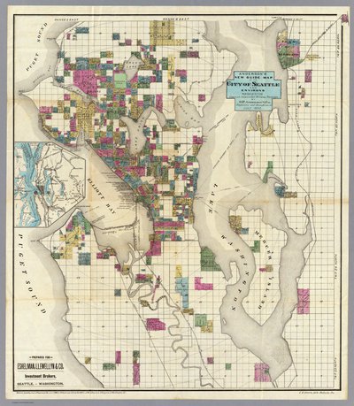
City of Seattle - 1890
About:
With two inset maps of the environs of Seattle. This is a subdivision map showing the early expansion of the city. Streeter: “This map shows Seattle before the boom of the nineties, with the original subdivisions and ownerships named and blocked out in different colors.” With the Union Pacific logo in the lower left (compare to the Whitney “Astoria” map). Map is folded into untitled dark brown cloth covers 16x10.
Originally on David Rumsey.
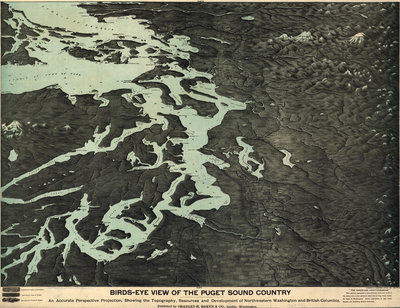
Puget Sound Birdseye View - 1891
Birds-eye-view of Seattle - 1891
About:
Perspective map not drawn to scale. Subtitle indicates it was made “Eighteen months after the Great Fire”.
Originally on Library of Congress
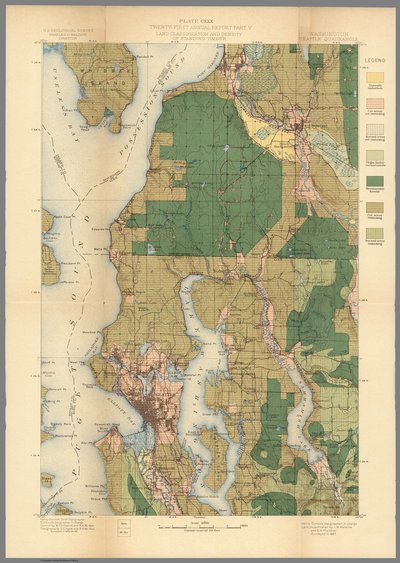
Seattle Geological Survey - 1900
About:
Color. Relief shown in contours. Topography surveyed 1893-94-95. Land classification surveyed 1897.
Originally on David Rumsey
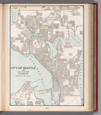
City of Seattle - 1901
About:
Color map. Shows city blocks, roads, railroads, ferries, public buildings, parks, etc. Relief shown by hachures.
Originally seen on David Rumsey
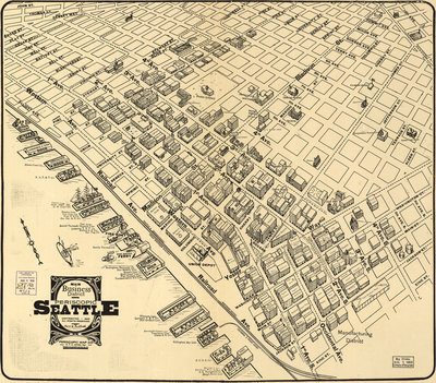
Seattle Business District - 1903
About:
Tulloch’s birdseye map of the Seattle Business District in 1903.
Originally found on Big Map Blog
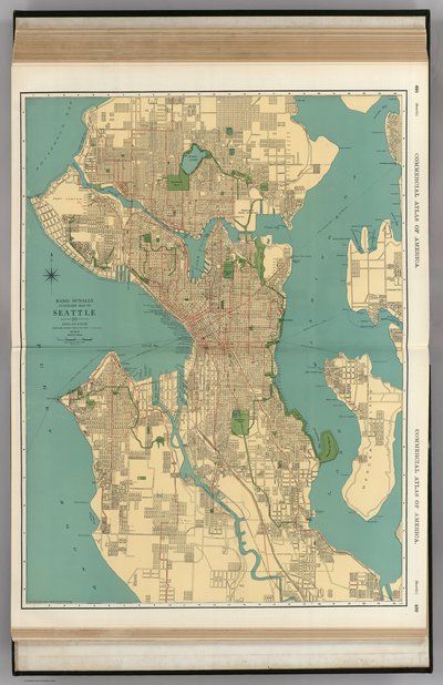
Rand McNally Street Map - 1924
About:
Note the additional neighborhoods near Fort Lawton that appear to be plats in the tide flats that were never built.
Originally found on David Rumsey
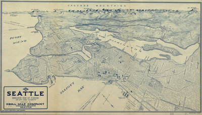
Seattle Birdseye - 1925
About:
A unique and arresting birdseye map of Seattle, Washington. Rendered with a draughtsmanlike aesthetic in blue lines on white.
Originally found on Big Map Blog
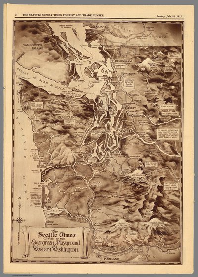
Seattle Times Guide to Washington - 1935
About:
Pictorial map of Western Washington, by parker McAllister. Published in Sunday issue of Seattle Times. Covers Vancouver, B.C. in the north to Portland, Oregon in the south. Shows roads, rivers, mountains, place names, cartoon images and text boxes. Relief shown by shadings and spot heights.
Originally on David Rumsey
